
Stay in Touch
Connect with the healthy food access movement and join our email list today.
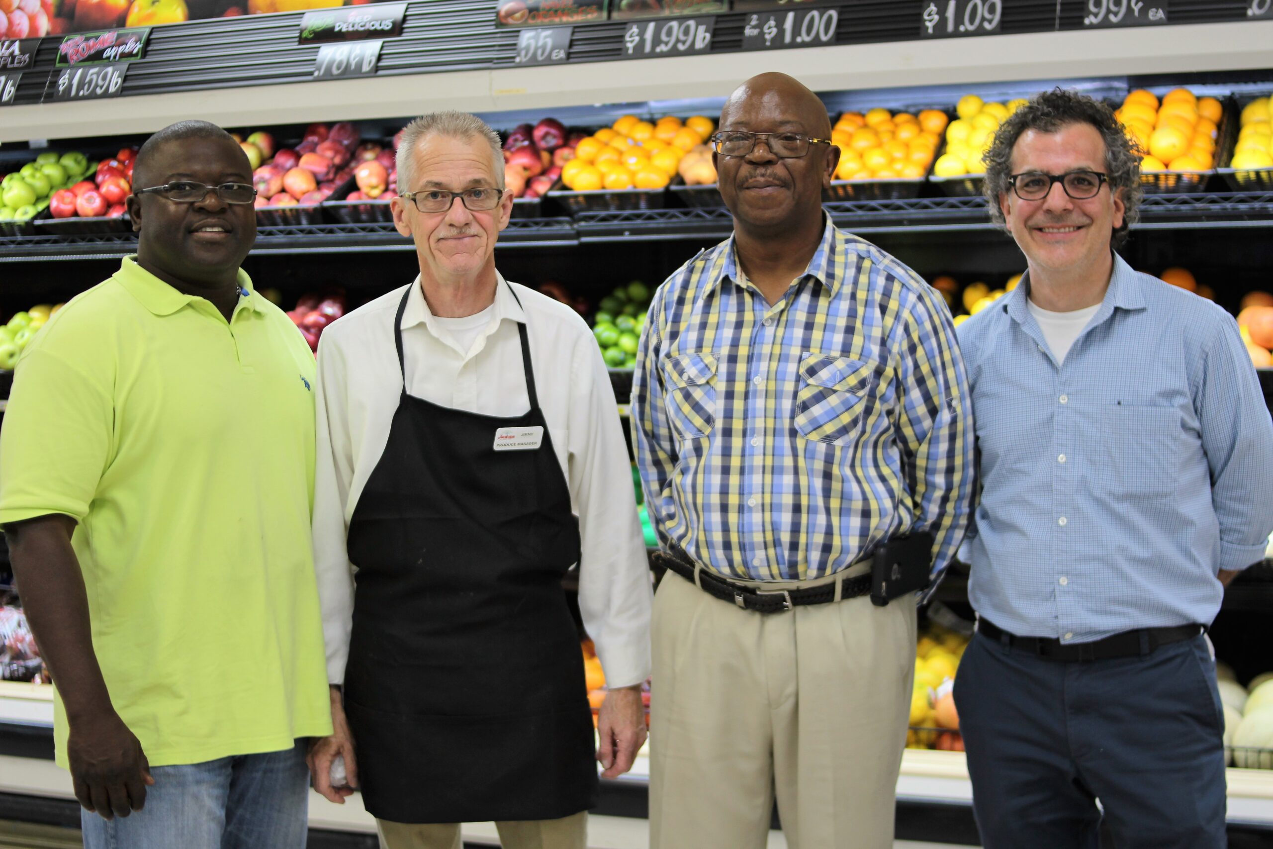
Learn what it takes to start and sustain a healthy food business that can successfully serve communities in need. In this section, you’ll find information about how to get started, becoming an entrepreneur, business models and financial opportunities.
Connect with the healthy food access movement and join our email list today.